Fayl:Satellite Balkans.jpg

Size of this preview: 800 × 565 pixels. Başqa çözüm: 320 × 226 pixels | 640 × 452 pixels | 1.024 × 723 pixels | 1.172 × 827 pixels.
Kerçek fayl (1.172 × 827 piksel, fayl büyükligi: 742 KB, MIME çeşiti: image/jpeg)
Faylğa ait qısqa tarif
| Tasvir |
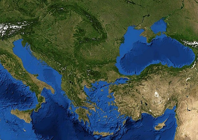
English: Satellite image of the Balkans. |
| Tarih | 5 dekabr 2005 (upload date) |
| Menba | Satellite imagery taken from NASA World Wind software (by screenshot) |
| Yaratıcı | NASA |

Litsenziyalama
| This image is in the public domain because it is a screenshot from NASA’s globe software World Wind using a public domain layer, such as Blue Marble, MODIS, Landsat, SRTM, USGS or GLOBE.
|
 |
Faylnıñ keçmişi
Faylnıñ kerekli anki alını körmek içün tarihqa/saatqa basıñız.
| Tarih ve saat | Kiçik resim | En × boy | Qullanıcı | İzaat | |
|---|---|---|---|---|---|
| şimdiki | 12:37, 2018 s. aprelniñ 19 | | 1.172 × 827 (742 KB) | Fæ | Derived upscale from parent image, 52% larger in resolution with ~0.7 degrees rotation |
| 20:53, 2005 s. dekabrniñ 5 |  | 770 × 540 (150 KB) | Porao | ||
| 20:48, 2005 s. dekabrniñ 5 |  | 692 × 464 (160 KB) | Porao | Source: cut from Image:Mediterranian_Sea_16.61811E_38.99124N.jpg Mediterranian Sea {{World Wind}} |
Fayl qullanıluvı
Bu saife qullana bu fayldı:
Umumiy fayl qullanıluvı
Bu vikilerde bu fayldı qullana:
- ar.wikipedia.org qullanım
- el.wikipedia.org qullanım
- es.wikipedia.org qullanım
- hyw.wikipedia.org qullanım
- it.wikipedia.org qullanım
- rm.wikipedia.org qullanım
- tr.wikipedia.org qullanım
- tr.wikivoyage.org qullanım