Fayl:Romania location map.svg

Size of this PNG preview of this SVG file: 800 × 572 pixels. Başqa çözüm: 320 × 229 pixels | 640 × 458 pixels | 1.024 × 732 pixels | 1.280 × 915 pixels | 2.560 × 1.831 pixels | 1.611 × 1.152 pixels.
Kerçek fayl (SVG faylı, nominal 1.611 × 1.152 piksel, fayl büyükligi: 194 KB)
Faylğa ait qısqa tarif
| Tasvir |
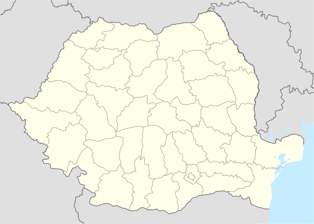
Deutsch: Positionskarte von Rumänien
Quadratische Plattkarte, N-S-Streckung 140 %. Geographische Begrenzung der Karte:
English: Location map of Romania
Equirectangular projection, N/S stretching 140 %. Geographic limits of the map:
|
| Tarih | |
| Menba | own work, using United States National Imagery and Mapping Agency data |
| Yaratıcı | NordNordWest |
| Other versions |
|


|
This map has been made or improved in the German Kartenwerkstatt (Map Lab). You can propose maps to improve as well.
|
Litsenziyalama
I, the copyright holder of this work, hereby publish it under the following licenses:

|
Permission is granted to copy, distribute and/or modify this document under the terms of the GNU Free Documentation License, Version 1.2 or any later version published by the Free Software Foundation; with no Invariant Sections, no Front-Cover Texts, and no Back-Cover Texts. A copy of the license is included in the section entitled GNU Free Documentation License. |
This file is licensed under the Creative Commons Attribution-Share Alike 3.0 Unported license.
- Azatsıñız:
- paylaşuv – qopyaluv, dağıtuv ve iletüv
- remiks etüv – uyğunlaştıruv
- Bu şartlar astında:
- attribution – You must give appropriate credit, provide a link to the license, and indicate if changes were made. You may do so in any reasonable manner, but not in any way that suggests the licensor endorses you or your use.
- aynı şekilde paylaşuv – If you remix, transform, or build upon the material, you must distribute your contributions under the same or compatible license as the original.
İstedigiñiz lisansnı seçebilirsiñiz.
Faylnıñ keçmişi
Faylnıñ kerekli anki alını körmek içün tarihqa/saatqa basıñız.
| Tarih ve saat | Kiçik resim | En × boy | Qullanıcı | İzaat | |
|---|---|---|---|---|---|
| şimdiki | 21:51, 2022 s. martnıñ 5 | | 1.611 × 1.152 (194 KB) | Flagvisioner | Reverted to version as of 11:40, 6 June 2019 (UTC) |
| 05:54, 2022 s. fevralniñ 22 |  | 1.611 × 1.152 (409 KB) | Turbo Slayer 2021 | Coastline | |
| 11:40, 2019 s. iyünniñ 6 |  | 1.611 × 1.152 (194 KB) | RHaworth | Smaller version. The larger version is not "very accurate": it just contains 200k bytes of spurious precision. | |
| 12:31, 2012 s. oktâbrniñ 2 |  | 1.611 × 1.152 (409 KB) | Palosirkka | Reverted to version as of 17:18, 5 September 2008 Location maps must remain very accurate | |
| 11:13, 2012 s. oktâbrniñ 2 |  | 1.611 × 1.152 (203 KB) | Palosirkka | Scrubbed with http://codedread.com/scour/ | |
| 17:18, 2008 s. sentâbrniñ 5 |  | 1.611 × 1.152 (409 KB) | NordNordWest | ||
| 08:52, 2008 s. sentâbrniñ 2 |  | 1.611 × 1.152 (408 KB) | NordNordWest | ||
| 15:48, 2008 s. iyülniñ 7 |  | 806 × 576 (386 KB) | NordNordWest | {{Information |Description= {{de|Positionskarte von Rumänien}} Quadratische Plattkarte, N-S-Streckung 140 %. Geographische Begrenzung der Karte: * N: 48.5° N * S: 43.4° N * W: 20.0° O * O: 30.0° O {{en|Location map of [[:en:Romania| |
Fayl qullanıluvı
Bu 8 saifeler qullana bu fayldı:
Umumiy fayl qullanıluvı
Bu vikilerde bu fayldı qullana:
- af.wikipedia.org qullanım
- als.wikipedia.org qullanım
- an.wikipedia.org qullanım
- ar.wikipedia.org qullanım
- ast.wikipedia.org qullanım
View more global usage of this file.