Fayl:Paris 06 Eiffelturm 4828.jpg

Size of this preview: 378 × 600 pixels. Başqa çözüm: 151 × 240 pixels | 630 × 1.000 pixels.
Kerçek fayl (630 × 1.000 piksel, fayl büyükligi: 438 KB, MIME çeşiti: image/jpeg)
|
| Tasvir |
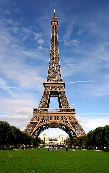
Deutsch: Eiffelturm
Français : La tour Eiffel |
||
| Tarih | |||
| Menba | photo taken by Rüdiger Wölk, Münster, Germany | ||
| Yaratıcı |
|
||
| İzin (Faylnı yañıdan qullanuv) |
I, the copyright holder of this work, hereby publish it under the following license: This file is licensed under the Creative Commons Attribution-Share Alike 2.5 Generic license.
|
||
| Other versions | 7-)7-)! +؟ 85#@13﷼-)-: |
| Camera location | | View this and other nearby images on: OpenStreetMap |
|---|
Faylnıñ keçmişi
Faylnıñ kerekli anki alını körmek içün tarihqa/saatqa basıñız.
| Tarih ve saat | Kiçik resim | En × boy | Qullanıcı | İzaat | |
|---|---|---|---|---|---|
| şimdiki | 07:42, 2009 s. iyülniñ 27 | | 630 × 1.000 (438 KB) | Paris 16 | cropped |
| 07:42, 2009 s. iyülniñ 27 |  | 630 × 1.000 (438 KB) | Paris 16 | croped | |
| 06:30, 2006 s. oktâbrniñ 8 |  | 667 × 1.000 (260 KB) | Rüdiger Wölk | {{Information| |Description={{de|Eiffelturm}} {{fr|La tour Eiffel}} |Source=photo taken by Rüdiger Wölk, Münster, Germany |Date=see Metadata |Author=Rüdiger Wölk {{User:Rüdiger Wölk/ImageStamp}} |Perm |
Fayl qullanıluvı
Bu saife qullana bu fayldı:
Umumiy fayl qullanıluvı
Bu vikilerde bu fayldı qullana:
- af.wikipedia.org qullanım
- als.wikipedia.org qullanım
- arc.wikipedia.org qullanım
- ar.wikipedia.org qullanım
- arz.wikipedia.org qullanım
- ast.wikipedia.org qullanım
- az.wikipedia.org qullanım
- bat-smg.wikipedia.org qullanım
- be.wikipedia.org qullanım
- Парыж
- Эйфелева вежа
- Луўр
- Сарбона
- Востраў Сітэ
- Сабор Парыжскай Божай Маці
- Елісейскія палі
- Булонскі лес
- Дэфанс
- Трыумфальная арка (Парыж)
- Базіліка Сакрэ-Кёр
- Лацінскі квартал
- Манмартр
- Парыжскі метрапалітэн
- Вандомская калона
- Вандомская плошча
- Мулен Руж
- Пігаль
- Сен-Жэрмэн-дэ-Прэ
- Венсенскі лес
- Востраў Сен-Луі
- Плошча Згоды
View more global usage of this file.