Fayl:Outline Map of Khakasia.svg

Size of this PNG preview of this SVG file: 414 × 599 pixels. Başqa çözüm: 166 × 240 pixels | 332 × 480 pixels | 531 × 768 pixels | 707 × 1.024 pixels | 1.415 × 2.048 pixels | 512 × 741 pixels.
Kerçek fayl (SVG faylı, nominal 512 × 741 piksel, fayl büyükligi: 180 KB)
Faylğa ait qısqa tarif
| Tasvir |
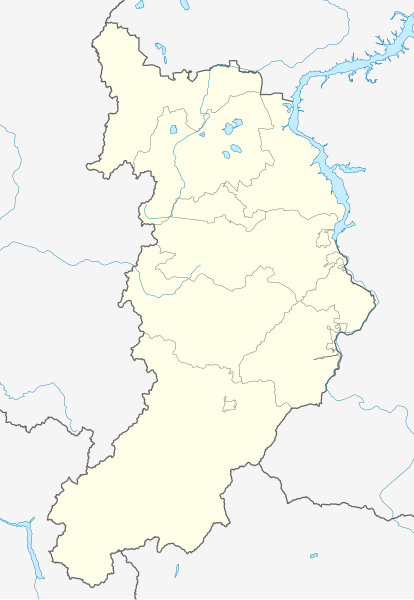
Русский: Позиционная карта Республики Хакасия
|top = 55.6 |bottom = 51.2 |left = 87.3 |right = 92.4 |
| Tarih | |
| Menba |
Öz işi This W3C-unspecified vector image was created with Inkscape .
|
| Yaratıcı | |
| Other versions |
[] |


Litsenziyalama
| I, the copyright holder of this work, release this work into the public domain. This applies worldwide. In some countries this may not be legally possible; if so: I grant anyone the right to use this work for any purpose, without any conditions, unless such conditions are required by law. |
Faylnıñ keçmişi
Faylnıñ kerekli anki alını körmek içün tarihqa/saatqa basıñız.
| Tarih ve saat | Kiçik resim | En × boy | Qullanıcı | İzaat | |
|---|---|---|---|---|---|
| şimdiki | 14:51, 2010 s. sentâbrniñ 12 | | 512 × 741 (180 KB) | Виктор В | == {{int:filedesc}} == {{Information |Description={{ru|1=Позиционная карта Республики Хакасия *Проекция — равноугольная. *Стандартная параллель — 53°24′00″с.ш. *Пара� |
Fayl qullanıluvı
Bu 20 saifeler qullana bu fayldı:
- Abakan
- Abaza (şeer)
- Arqa başı
- Açqıç (köy)
- Açqıç (şeer şeklinde qasaba)
- Belıy Yar (Haqas Cumhuriyeti)
- Beşqamçı
- Biye (köy)
- Mayna (Haqas Cumhuriyeti)
- Prigorsk
- Qarataş
- Sayanogorsk
- Sorsk
- Taştıp (köy)
- Tiz (köy)
- Töö başı
- Ust-Abakan
- Çerömuşki (Haqas Cumhuriyeti)
- Şira (köy)
- Şablon:Location map Rusiye Haqas Cumhuriyeti
Umumiy fayl qullanıluvı
Bu vikilerde bu fayldı qullana:
- af.wikipedia.org qullanım
- ar.wikipedia.org qullanım
- azb.wikipedia.org qullanım
- az.wikipedia.org qullanım
- ba.wikipedia.org qullanım
- be.wikipedia.org qullanım
- bg.wikipedia.org qullanım
- ceb.wikipedia.org qullanım
- ce.wikipedia.org qullanım
View more global usage of this file.