Fayl:Outline Map of Kalmykia.svg

Size of this PNG preview of this SVG file: 672 × 599 pixels. Başqa çözüm: 269 × 240 pixels | 538 × 480 pixels | 861 × 768 pixels | 1.148 × 1.024 pixels | 2.296 × 2.048 pixels | 1.000 × 892 pixels.
Kerçek fayl (SVG faylı, nominal 1.000 × 892 piksel, fayl büyükligi: 80 KB)
Faylğa ait qısqa tarif
| Tasvir |
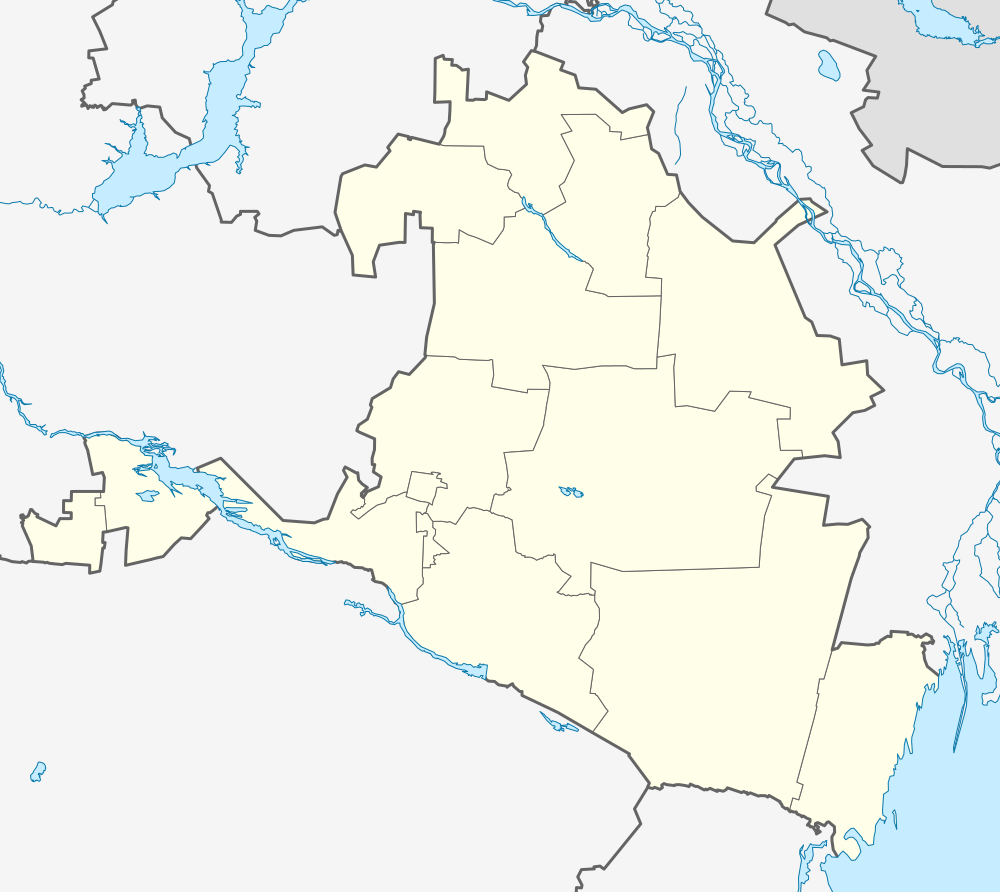
Русский: Позиционная карта Республики Калмыкия Равноугольная проекция. Координаты краёв:
|
| Tarih | |
| Menba |
Öz işi This W3C-unspecified vector image was created with Inkscape . |
| Yaratıcı | Виктор В |
| Other versions |
[] |


Litsenziyalama
| I, the copyright holder of this work, release this work into the public domain. This applies worldwide. In some countries this may not be legally possible; if so: I grant anyone the right to use this work for any purpose, without any conditions, unless such conditions are required by law. |
Faylnıñ keçmişi
Faylnıñ kerekli anki alını körmek içün tarihqa/saatqa basıñız.
| Tarih ve saat | Kiçik resim | En × boy | Qullanıcı | İzaat | |
|---|---|---|---|---|---|
| şimdiki | 12:56, 2010 s. avgustnıñ 16 | | 1.000 × 892 (80 KB) | Виктор В | +Дон |
| 16:57, 2010 s. avgustnıñ 13 |  | 1.000 × 892 (79 KB) | Виктор В | == {{int:filedesc}} == {{Information |Description={{ru|1=Позиционная карта Республики Калмыкия<br\>Равноугольная проекция. Координаты краёв: * север — 48.5° С * юг — 44.5° |
Fayl qullanıluvı
Bu 15 saifeler qullana bu fayldı:
Umumiy fayl qullanıluvı
Bu vikilerde bu fayldı qullana:
- af.wikipedia.org qullanım
- Sjabloon:Liggingkaart Kalmikië
- Elista
- Chogn
- Baroen
- Bergin (Kalmikië)
- Tsagan Boelg
- Rewdolgan
- Oelan Zoeëch
- Dotseng
- Teegin Noer
- Oling
- Beloöziorski (Kalmikië)
- Smoesjkowoje
- Tsagan Aman
- Perwomaiski (Joesta-rajon)
- Tsjompot
- Tatal
- Dolan (Kalmikië)
- Charba
- Erdnijefski
- Joesta
- Oktjabrski (Joesta-rajon)
- Sewernoje (Kalmikië)
- Dzjalikowo
- Boerannoje (Kalmikië)
- Lagan
- Oelan-Chol
- Krasinskoje (Kalmikië)
- Iki-Manlan
- Iki-Boechoes
- Chanata
- Oengn-Tjorjatsji
- Zoergan
- Chontsj Noer
- Toendoetowo
- Lidzjin Choedoek
- Boschatsji
- Malije Derbeti
- Wasiljef (Kalmikië)
- Plodowitoje
- Tsjarlakta
- Chosjeoet
- Tsagan-Noer
- Sjarldzjin
- Zoenda Tolga
- Mantsin Kets
- Sjeerng
- Magna
- Oran Boelg
- Char-Zoecha
View more global usage of this file.