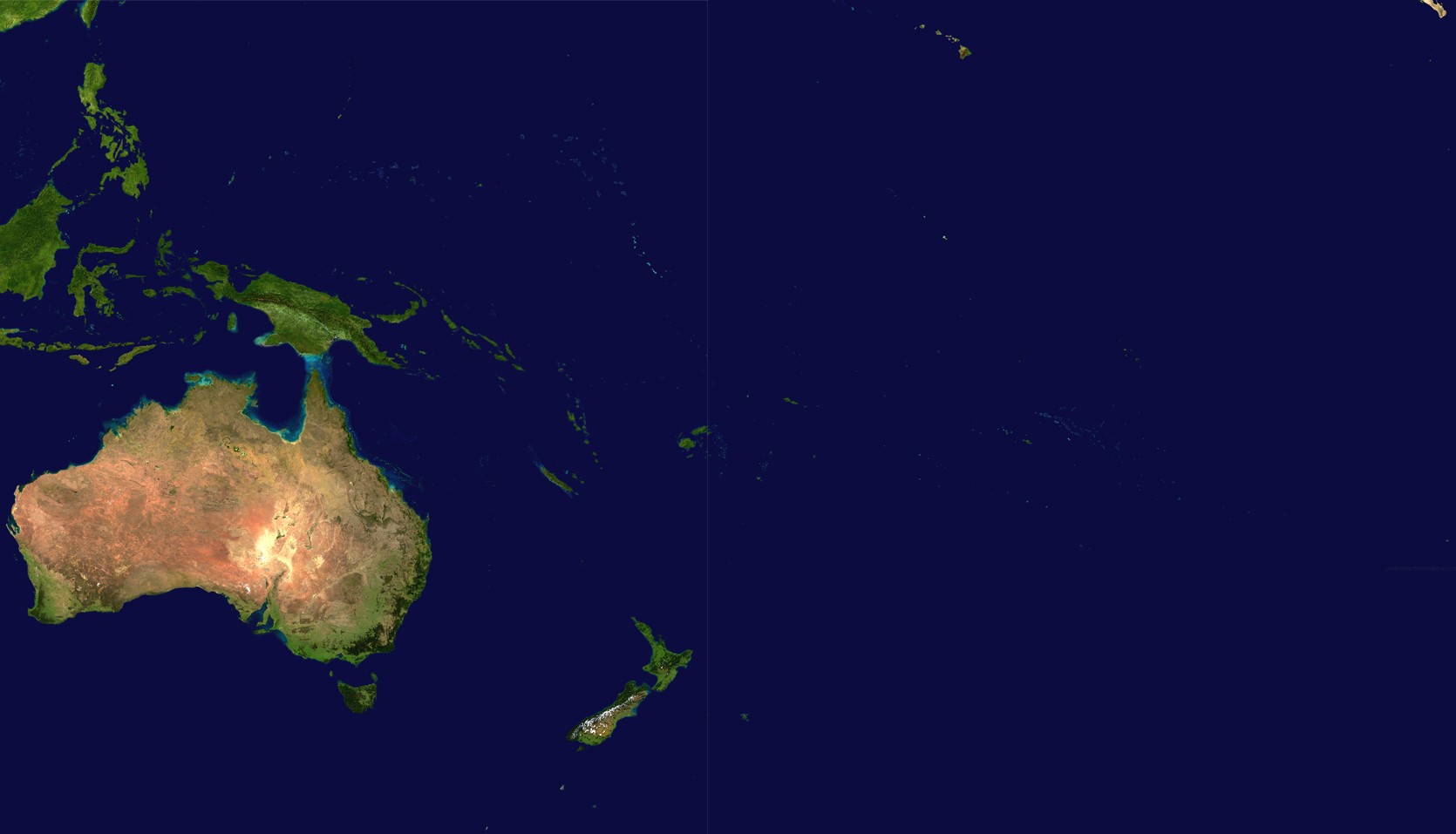
Fayl:Oceania satellite.jpg
Size of this preview: 800 × 458 pixels. Başqa çözüm: 320 × 183 pixels | 640 × 367 pixels | 1.024 × 587 pixels | 1.670 × 957 pixels.
Kerçek fayl (1.670 × 957 piksel, fayl büyükligi: 111 KB, MIME çeşiti: image/jpeg)
source: http://visibleearth.nasa.gov/images/2433/land_shallow_topo_21600.tif archive copy at the Wayback Machine
| This file is in the public domain in the United States because it was solely created by NASA. NASA copyright policy states that "NASA material is not protected by copyright unless noted". (See Template:PD-USGov, NASA copyright policy page or JPL Image Use Policy.) | ||
 |
Warnings:
|
Faylnıñ keçmişi
Faylnıñ kerekli anki alını körmek içün tarihqa/saatqa basıñız.
| Tarih ve saat | Kiçik resim | En × boy | Qullanıcı | İzaat | |
|---|---|---|---|---|---|
| şimdiki | 18:54, 2023 s. iyünniñ 14 | | 1.670 × 957 (111 KB) | Treetoes023 | Didn't work the first time so I'm trying again. |
| 18:46, 2023 s. iyünniñ 14 |  | 1.664 × 961 (111 KB) | Treetoes023 | Zoomed in image to remove unnecessary areas outside of Oceania. | |
| 08:05, 2005 s. avgustnıñ 19 |  | 2.349 × 1.155 (755 KB) | っ | source: http://visibleearth.nasa.gov/images/2433/land_shallow_topo_21600.tif {{PD-USGov-NASA}} Category:Maps of Oceania Oceania |
Fayl qullanıluvı
Bu saife qullana bu fayldı:
Umumiy fayl qullanıluvı
Bu vikilerde bu fayldı qullana:
- af.wikipedia.org qullanım
- ar.wikipedia.org qullanım
- ar.wikinews.org qullanım
- arz.wikipedia.org qullanım
- ast.wikipedia.org qullanım
- ba.wikipedia.org qullanım
- ca.wikipedia.org qullanım
- cdo.wikipedia.org qullanım
- co.wikipedia.org qullanım
- cs.wikipedia.org qullanım
- cy.wikipedia.org qullanım
- de.wikipedia.org qullanım
- el.wikipedia.org qullanım
- en.wikipedia.org qullanım
- eo.wikipedia.org qullanım
- es.wikipedia.org qullanım
- es.wikivoyage.org qullanım
- et.wikipedia.org qullanım
- fiu-vro.wikipedia.org qullanım
- fi.wikipedia.org qullanım
- fo.wikipedia.org qullanım
- fr.wikipedia.org qullanım
View more global usage of this file.