Fayl:North Korea adm location map.svg

Kerçek fayl (SVG faylı, nominal 1.606 × 1.616 piksel, fayl büyükligi: 264 KB)
Faylğa ait qısqa tarif
| Tasvir |
Deutsch: Positionskarte von Nordkorea
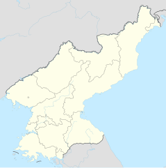
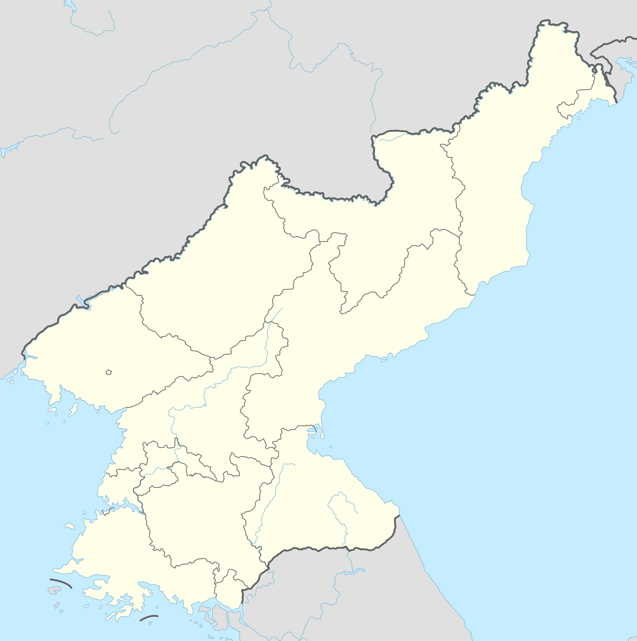
English: Location map of North Korea
|
||||||||||||
| Tarih | |||||||||||||
| Menba |
Own work using:
|
||||||||||||
| Yaratıcı | NordNordWest | ||||||||||||

|
This map has been made or improved in the German Kartenwerkstatt (Map Lab). You can propose maps to improve as well.
|
Litsenziyalama
Usage of this file with:

explanatory notes: Legally binding is only the full legalcode. For a free usage I recommend to respect the following licence conditions:
1. Provide my name as given above: NordNordWest,
2. a copy of, or the URI for, the applicable license: https://creativecommons.org/licenses/by-sa/3.0/de/legalcode,
3. the title of the work,
4. in the case of an adaptation, a credit identifying the use of the work in the adaptation.
This license and the rights granted hereunder will terminate automatically upon any breach by you of the terms of this license. Any of the above conditions can be waived if you get permission from the copyright holder. If you have questions or wish differing conditions, please contact me through nnwest or my discussion page ![]() t-online.de
t-online.de
- Azatsıñız:
- paylaşuv – qopyaluv, dağıtuv ve iletüv
- remiks etüv – uyğunlaştıruv
- Bu şartlar astında:
- attribution – You must give appropriate credit, provide a link to the license, and indicate if changes were made. You may do so in any reasonable manner, but not in any way that suggests the licensor endorses you or your use.
- aynı şekilde paylaşuv – If you remix, transform, or build upon the material, you must distribute your contributions under the same or compatible license as the original.

Faylnıñ keçmişi
Faylnıñ kerekli anki alını körmek içün tarihqa/saatqa basıñız.
| Tarih ve saat | Kiçik resim | En × boy | Qullanıcı | İzaat | |
|---|---|---|---|---|---|
| şimdiki | 20:40, 2022 s. dekabrniñ 1 | | 1.606 × 1.616 (264 KB) | NordNordWest | corr |
| 17:06, 2015 s. sentâbrniñ 11 |  | 1.606 × 1.616 (275 KB) | NordNordWest | corr | |
| 10:47, 2015 s. sentâbrniñ 9 |  | 1.606 × 1.616 (275 KB) | NordNordWest | corr | |
| 10:36, 2015 s. sentâbrniñ 9 |  | 1.606 × 1.616 (276 KB) | NordNordWest | == {{int:filedesc}} == {{Information |Description= {{de|1=Positionskarte von Nordkorea}} {{en|1=Location map of North Korea}} {{Location map series N |stretching=120 |top=43.2 |bottom=37.5 |left=124.1 |right=130.9 }} |Source={{Own using}} * United Stat... |
Fayl qullanıluvı
Bu saife qullana bu fayldı:
Umumiy fayl qullanıluvı
Bu vikilerde bu fayldı qullana:
- af.wikipedia.org qullanım
- als.wikipedia.org qullanım
- an.wikipedia.org qullanım
- ar.wikipedia.org qullanım
- az.wikipedia.org qullanım
- ba.wikipedia.org qullanım
- bcl.wikipedia.org qullanım
- be-tarask.wikipedia.org qullanım
- be.wikipedia.org qullanım
- bg.wikipedia.org qullanım
- bn.wikipedia.org qullanım
- bs.wikipedia.org qullanım
- ca.wikipedia.org qullanım
- cdo.wikipedia.org qullanım
View more global usage of this file.