Fayl:Chile location map.svg

Size of this PNG preview of this SVG file: 267 × 600 pixels. Başqa çözüm: 107 × 240 pixels | 213 × 480 pixels | 342 × 768 pixels | 455 × 1.024 pixels | 911 × 2.048 pixels | 1.183 × 2.658 pixels.
Kerçek fayl (SVG faylı, nominal 1.183 × 2.658 piksel, fayl büyükligi: 925 KB)
Faylğa ait qısqa tarif
| Tasvir |
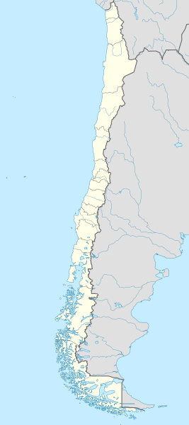
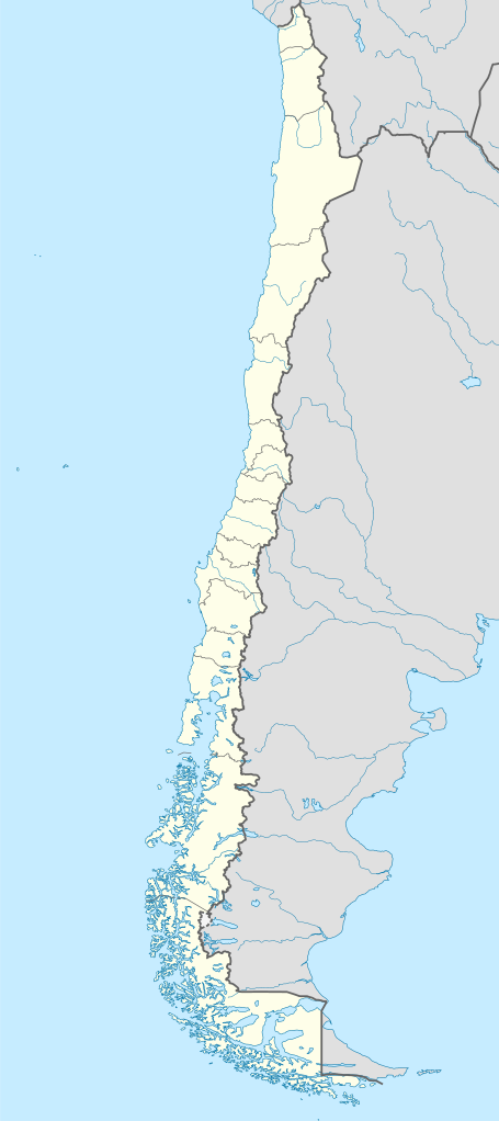
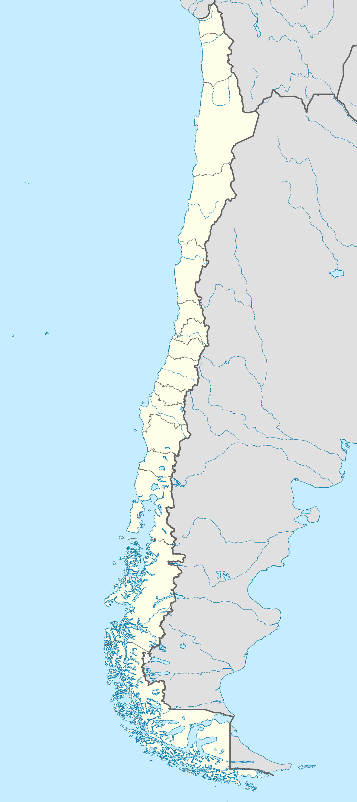
Deutsch: Positionskarte von Chile
Quadratische Plattkarte, N-S-Streckung 115 %. Geographische Begrenzung der Karte:
English: Location map of Chile
Equirectangular projection, N/S stretching 115 %. Geographic limits of the map:
Español: Mapa de localización de Chile
Proyección Equirectangular, N/S con una extensión de 115 %. Límites geográficos del mapa:
|
| Tarih | |
| Menba |
own work, using
|
| Yaratıcı | NordNordWest |
| Other versions |
Derivative works of this file:
|
.svg)
.svg)
.svg)
.svg)

|
This map has been made or improved in the German Kartenwerkstatt (Map Lab). You can propose maps to improve as well.
|
Litsenziyalama
I, the copyright holder of this work, hereby publish it under the following licenses:

|
Permission is granted to copy, distribute and/or modify this document under the terms of the GNU Free Documentation License, Version 1.2 or any later version published by the Free Software Foundation; with no Invariant Sections, no Front-Cover Texts, and no Back-Cover Texts. A copy of the license is included in the section entitled GNU Free Documentation License. |
This file is licensed under the Creative Commons Attribution-Share Alike 3.0 Unported license.
- Azatsıñız:
- paylaşuv – qopyaluv, dağıtuv ve iletüv
- remiks etüv – uyğunlaştıruv
- Bu şartlar astında:
- attribution – You must give appropriate credit, provide a link to the license, and indicate if changes were made. You may do so in any reasonable manner, but not in any way that suggests the licensor endorses you or your use.
- aynı şekilde paylaşuv – If you remix, transform, or build upon the material, you must distribute your contributions under the same or compatible license as the original.
İstedigiñiz lisansnı seçebilirsiñiz.
Faylnıñ keçmişi
Faylnıñ kerekli anki alını körmek içün tarihqa/saatqa basıñız.
| Tarih ve saat | Kiçik resim | En × boy | Qullanıcı | İzaat | |
|---|---|---|---|---|---|
| şimdiki | 22:46, 2023 s. avgustnıñ 15 | | 1.183 × 2.658 (925 KB) | Janitoalevic | Fixed Aysén & Magallanes and Chilean Antarctica Regions border. |
| 22:54, 2018 s. sentâbrniñ 5 |  | 1.183 × 2.658 (925 KB) | Janitoalevic | Ñuble Region | |
| 20:30, 2017 s. dekabrniñ 3 |  | 1.183 × 2.658 (921 KB) | Janitoalevic | color error. | |
| 20:28, 2017 s. dekabrniñ 3 |  | 1.183 × 2.658 (921 KB) | Janitoalevic | Fixed Argentina's Lake Nahuel Huapi | |
| 20:25, 2017 s. dekabrniñ 3 |  | 1.183 × 2.658 (920 KB) | Janitoalevic | . | |
| 21:50, 2017 s. dekabrniñ 2 |  | 1.183 × 2.658 (920 KB) | Janitoalevic | Fixed Argentina-Bolivia border | |
| 21:46, 2017 s. dekabrniñ 2 |  | 1.183 × 2.658 (920 KB) | Janitoalevic | . | |
| 00:42, 2017 s. avgustnıñ 30 |  | 1.183 × 2.658 (919 KB) | Janitoalevic | Fixed size | |
| 23:30, 2017 s. avgustnıñ 20 |  | 1.262 × 2.835 (910 KB) | Janitoalevic | Removed Ñuble Region (Will be fully implemented in 2018) | |
| 01:00, 2017 s. avgustnıñ 20 |  | 1.262 × 2.835 (914 KB) | Janitoalevic | Added Ñuble Region & more precise borders |
Fayl qullanıluvı
Bu 5 saifeler qullana bu fayldı:
Umumiy fayl qullanıluvı
Bu vikilerde bu fayldı qullana:
- af.wikipedia.org qullanım
- Antofagasta
- Pichilemu
- FIFA Sokker-Wêreldbekertoernooi in 1962
- Chillán
- Los Ángeles (Chili)
- Talcahuano
- Quinta Normal
- Temuco
- Puerto Montt
- Punta Arenas
- Coyhaique
- Valdivia
- Castro (Chili)
- San Pedro de la Paz
- Villa Alemana
- Sjabloon:Liggingkaart Chili
- Penco
- Hualpén
- Chiguayante
- Hualqui
- Coronel (Chili)
- Lota
- Tomé
- La Serena
- Arica
- Monte Águila (Chili)
- Arturo Merino Benítez Internasionale Lughawe
- als.wikipedia.org qullanım
- an.wikipedia.org qullanım
View more global usage of this file.